Overview
We have retained the services of individuals and companies that allow us to provide
a team of experts capable of completing both large and small hydrographic surveys.
Working together we can provide a professional product to assist individuals and entities
in all of their filings with the Office of the State Engineer. Our daily involvement with clients’ issues
has allowed us to stay informed on constantly changing policies and procedures with the Agencys,
which may affect your filings. We have the staff to assist you in document preparation,
and packaging of documents and proposals.
Mapping:
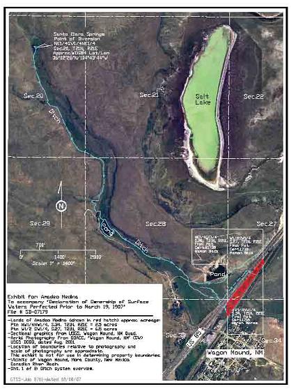
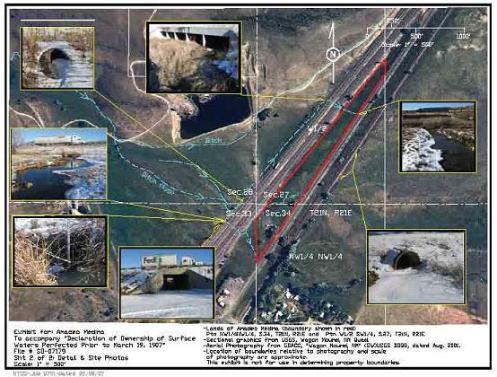
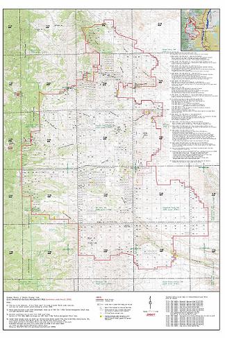
Our mapping department provides GIS support and graphics presentations
to assist in identification of relationships between modern and historical site conditions.
We use state of the art computer applications to create a ‘geo-referenced’ overview
of your property or project area. This information is used in the decision process
in water rights issues, but can also be a useful tool in future land-planning and management.
We have access to a wide variety of modern and historical maps, aerial images,
and documents from Private, Federal, State, and University sources.
Any map, aerial image, or document information can be incorporated
into the GIS environment at “real-world” scale, and approximate calculations
can be made to quantify area in places of interest.
Graphic exhibits and spreadsheet presentations communicate
site dynamics to others, presented in a variety of comparison-views and overlays.
Presentations can easily be customized to suit your needs, and reproduced
in many types of electronic formats or paper/photo media in up to 24×36 size.
All projects are computer-archived, and are quickly available to you
for update, reproduction, and transmittal.
Coverage is concentrated in, but not limited to the State of New Mexico.
We are currently building a new GIS database of modern and historical maps, images, and data, specifically within the Middle Rio Grande Conservancy District; and have a growing body of resources and contacts covering this area to place at your disposal.
We also prepare ranch boundary and improvment maps; and land use planning maps. Along with historical research of land entry records, we utilize these types of maps in filings with the Office of the State Engineer, New Mexico State Land Office, and other entities.
TRCS provides assistance to water rights holders,
with all water rights issues and filings with the NM State Engineer.
Site updated April 2016


Torres Research and Consulting Services
Benjamin D. Torres/Owner
Genevieve Torres/Office Mgr.
Phone: 505-274-9231
Cell: 505-350-8230
Office located at #3523 (Bldg. A), NM Hwy.47, Bosque Farms, NM, 87068.